


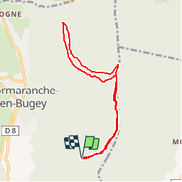


12.5 km | 15.2 km-effort


User


FREE GPS app for hiking
 SityTrail
IGN / Geographical institutes
SityTrail World
The world is yours!
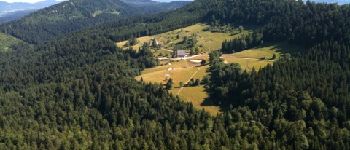
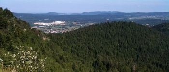
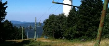
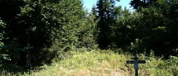
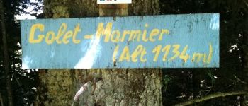
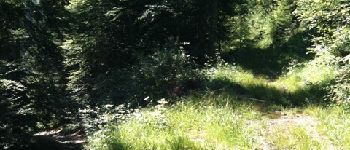
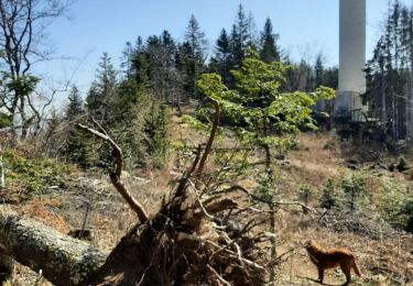
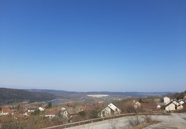
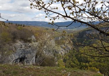
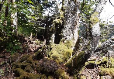
Trail Walking of 7.8 km to be discovered at Auvergne-Rhône-Alpes, Ain, Plateau d'Hauteville. This trail is proposed by gael.simon.


Mountain bike

Walking
Nordic walking
Nordic walking
Walking
Walking
Walking
Walking
Walking
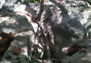
chemin des roches - tireluc